One platform for electric and combustion vehicles — same live map, same trip records, same alerts.
Fleets rarely go electric all at once. For most operators the transition means running electric vans alongside diesel ones for years, and needing one honest view of both. AdaTrack tracks vehicles, not drivetrains: the same live map, the same trip records and the same geofence alerts cover every vehicle you operate, whatever is under the bonnet.
Electric and combustion vehicles, tracked together
Running a second tracking system for the electric half of a fleet is how reporting stops being comparable. AdaTrack treats every vehicle the same, so utilisation, mileage and trip history stay in one place through the whole transition rather than splitting across tools.
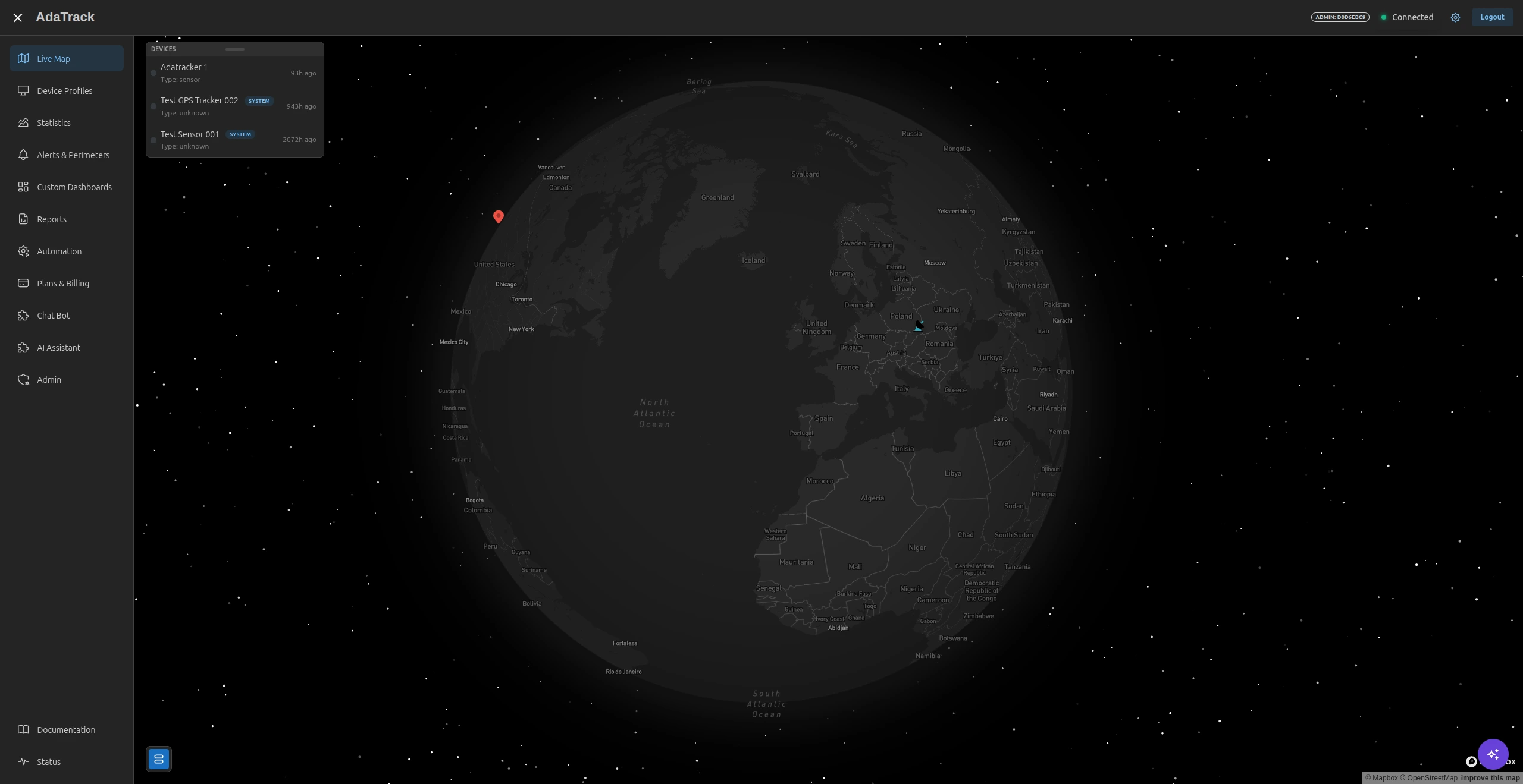
- Electric and combustion vehicles on the same live map
- Tracking depends on the device, not on the drivetrain
- Group and filter vehicles however your operation is organised
- No separate system or second subscription for the EV part of the fleet
- Thousands of vehicles rendered live without the map slowing down
Decide what can go electric from real route data
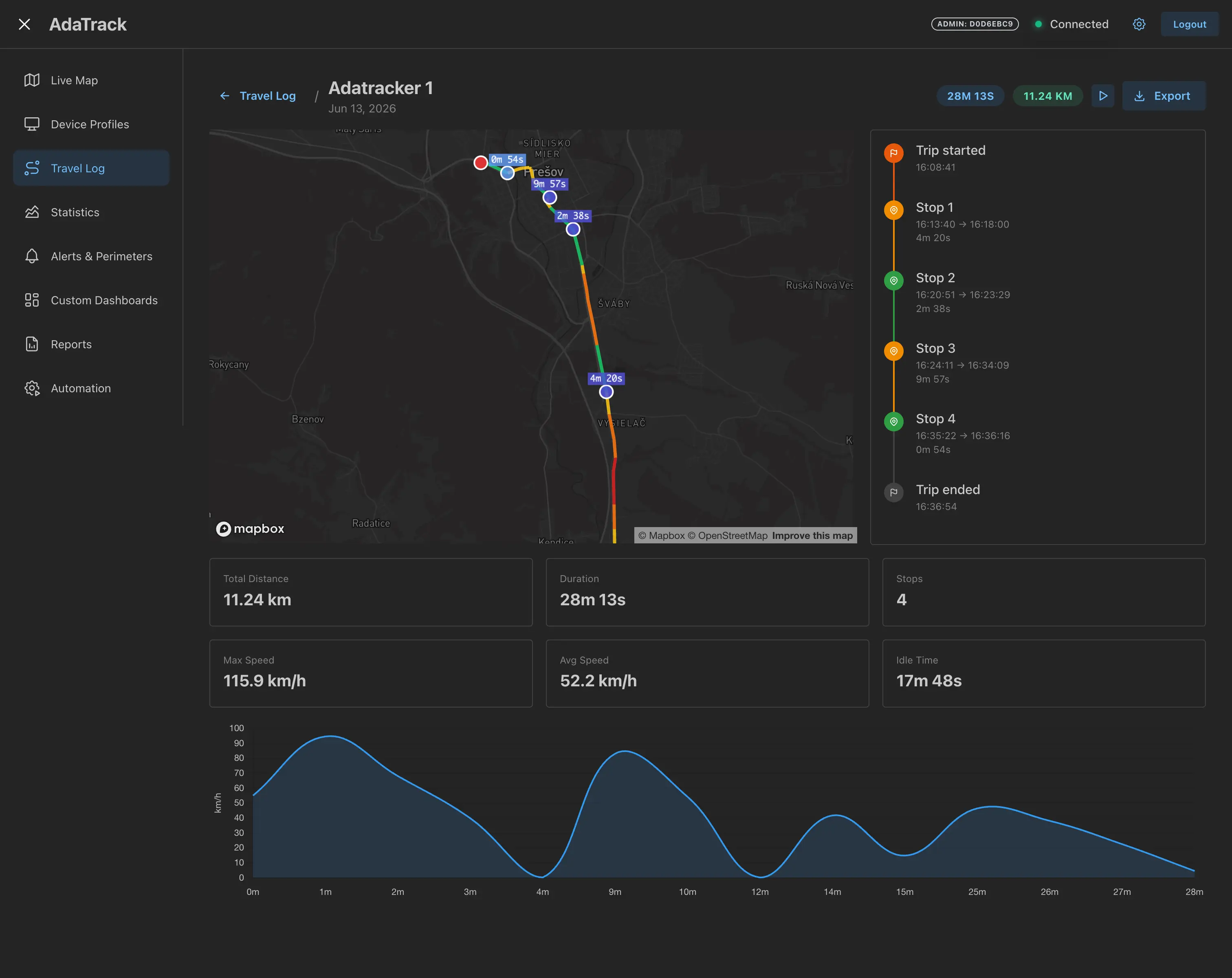
Deciding which routes can go electric is a data question, and the data usually already exists. Recorded trip history shows the distances vehicles genuinely cover and where they habitually stand still, which is a far better basis for the decision than a manufacturer's range figure.
- Real recorded distances per trip, not planned ones
- Duration and stop patterns for every route
- See which routes an EV would comfortably cover today
- Identify where in the day charging time can realistically sit
- Compare utilisation between electric and combustion vehicles
Charging locations are just another geofence
A charging point is just a place a vehicle needs to be at a particular time, and geofences already handle that. Draw a zone around each charging location and arrivals, departures and dwell time become events you can alert on or feed into an automated workflow.
- Geofence depots, customer sites and charging locations alike
- Alerts when a vehicle enters or leaves any of them
- Automated workflows triggered by arrival or departure
- Notifications by email, webhook or your existing channels
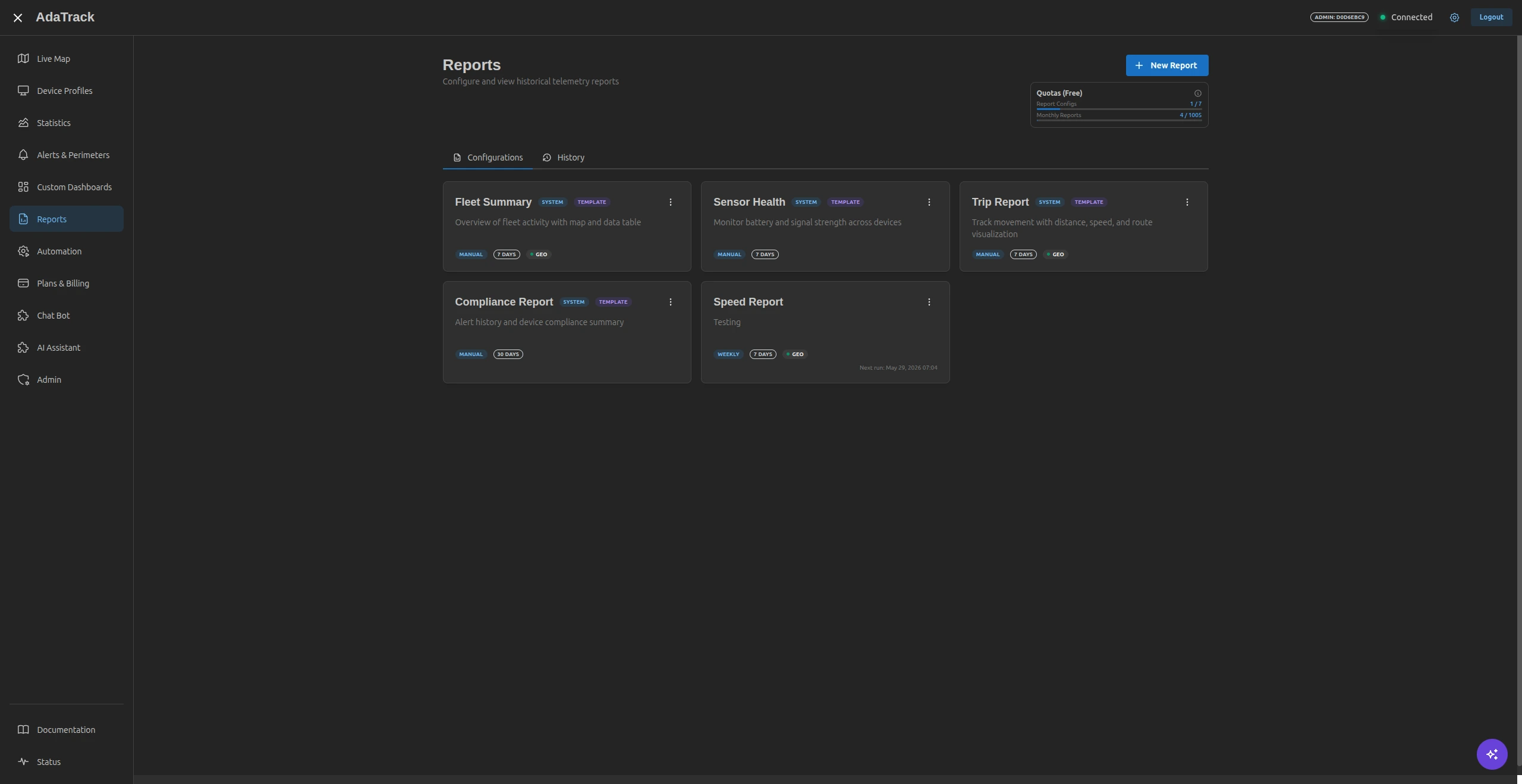
- Utilisation reports covering the whole mixed fleet
EV fleet tracking — common questions
How does tracking differ for an electric vehicle?
It works the same way. GPS tracking depends on the tracker, not on the drivetrain, so an electric van and a diesel van appear side by side on the same map with the same trip records, geofences and alerts.
Can AdaTrack read battery state of charge?
AdaTrack does not integrate with vehicle manufacturer APIs or charging networks, and makes no claim to read state of charge on its own. What it does do is decode whatever fields your tracker actually transmits — if your hardware reports a battery value, a device profile decoder can extract and store it.
Does it help with range planning?
Indirectly, and usefully. Recorded trips show real distances, durations and where vehicles habitually stop, which is the evidence base for deciding whether a route fits an EV's range and where charging time can realistically sit in the day.
Can we run electric and combustion vehicles together?
Yes. A mixed fleet is the normal case during a transition, and nothing in the platform separates vehicles by drivetrain. Group them however suits your operation and compare utilisation across both.
Can we geofence charging locations?
Geofences work identically for a depot, a customer site or a charging location. Entering or leaving any of them can trigger an alert or an automated workflow, so a vehicle arriving at or leaving a charge point is something you can act on.
Keep reading
See the full feature set that applies to every vehicle in the fleet, or check which plan fits the size you are running.
Track your electric fleet the same way you track the rest
Bring one electric vehicle online and see what the platform records, or talk through a mixed diesel-and-electric rollout with an engineer.